Deciding the weather conditions for flying is an important task. There are typically three important factors used to determine the weather.
First is the horizontal winds.
no images were found
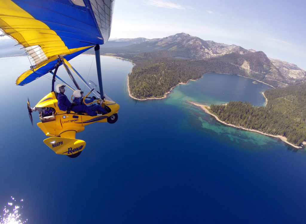
These are the classical winds that most of us know and understand. Typically, the winds come up in the afternoon and make flying less enjoyable. Typically what happens is the upper winds are blowing all the time but come down to the ground where we notice them as the sun heats the air on the ground allowing the upper winds to reach the ground. Many times in the morning, it can be calm on the ground and blowing 30 MPH at 10,000 feet over the mountain peaks. It is possible to fly in these conditions but only early in the morning. For weather conditions such as this, you takeoff in calm air, climb through some bumps, and can reach some smooth air above the mountain peaks. This is not always the case, sometimes it continues to be bumpy above the mountain peaks.How do you tell what the winds are blowing up high if it is calm on the ground? Typically, for the news type weather report, the reported winds in the afternoon are the winds aloft that will reach the ground in the afternoon.
no images were found
The BEST winds aloft forecast is the aviation weather service graphic prediction of winds aloft. You choose the top left elevation of 9,000 feet and the time to the left, and you get a graphic prediction of the winds at altitude. Shown to the right is the US with the Lake Tahoe regional winds below 15 knots at 9,000 feet. Looks good for flying. You must select the time in UTC/Zulu time in England which is local time + 7 hours summer DST, and + 8 hours winter PST. Typically if the winds are below 15 knots it is pretty smooth, between 15 and 20 – bumpy (light blue), and between 20 and 30 (darker blue) pretty bumpy. Above 30 knots the flight is canceled because it is to bumpy to enjoy. Additionally, there are Slide Mountain/MtRose Ski area mountain top observations of what it has been blowing abd the trends of what it is doing over the day. I use this while flying to observe trends and actual changes over the day.Second is the vertical winds
This is pretty simple. Besides the horizontal winds creating the vertival winds, the verticel winds are created from the sun heating terrain and the hot air rising. When the hot air rises, air falls around this to replace the rising air.

Third is visibility